

Makaleler
37
Tümü (37)
SCI-E, SSCI, AHCI (35)
SCI-E, SSCI, AHCI, ESCI (35)
Scopus (35)
TRDizin (1)
Diğer Yayınlar (1)


Hakemli Bilimsel Toplantılarda Yayımlanmış Bildiriler
58

Kitaplar
7
Metrikler
Yayın
103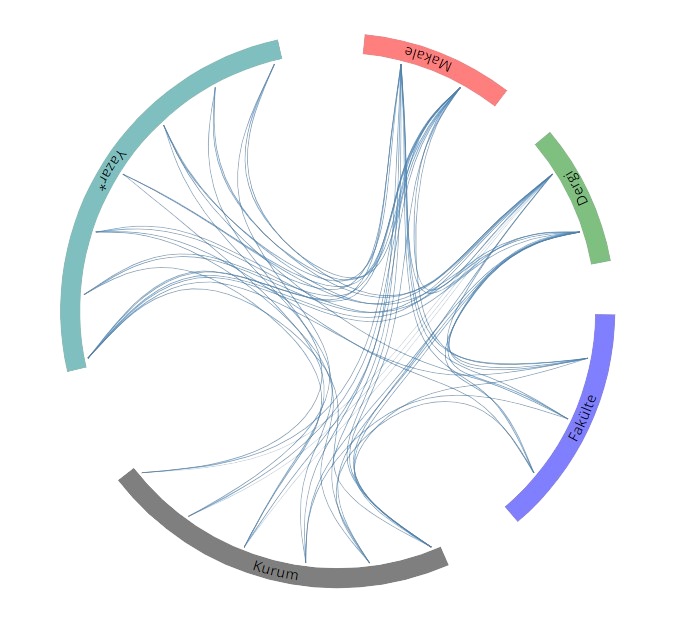
Açık Erişim
27
BM Sürdürülebilir Kalkınma Amaçları